Our Services
Elevation Cerftificates
Elevation Cerftificates
Elevation Cerftificates
To certify building elevations within a Special Flood Hazard area in order to determine the proper flood insurance premium rate for a building or to support a request of a Letter of Map Amendment
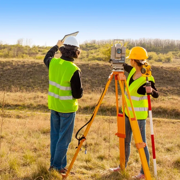
Lot Corner Verification
Elevation Cerftificates
Elevation Cerftificates
To recover and verify the position of property corner monuments that were established by a previous surveyor.

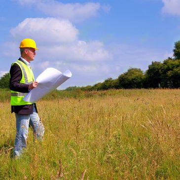
Boundary Survey
Elevation Cerftificates
Boundary Survey
To locate the property corners and boundary lines for a given parcel of land. This involves record and field research, measurements and computations to set boundary corners and lines.
Land Division
Construction Staking
Boundary Survey
To subdivide or partition a tract of land into smaller parcels, showing property corners and survey data on a subsequent plan in conformance with local and state law.

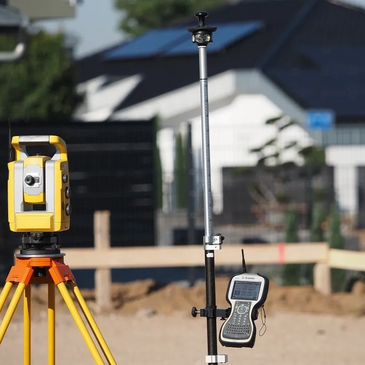
Construction Staking
Construction Staking
Construction Staking
To interpret construction plans and mark the location of new structures. Construction staking is performed according to engineering plans to guide the proposed improvements of the property.
Topographic Survey
Construction Staking
Construction Staking
To locate topographic features of the land-natural and man made; for example, buildings, structures, fences, trees, streams and elevations.